Springer Mountain & Long Creek Falls From Blue Ridge, GA (2026)
November 9, 2026 · 6 min read · By the hosts of The Black Ember

The short version
Springer Mountain, the southern end of the Appalachian Trail, is in Fannin County, and the Forest Service gives directions to it from Blue Ridge. From the parking lot on Forest Service Road 42, it's a 0.9-mile hike south to the summit. Long Creek Falls is a short, easy out-and-back from Three Forks on Forest Service Road 58, about 2 miles round trip. The Forest Service lists Springer as free, and the last miles to both are on rough gravel roads.
The Appalachian Trail starts in Blue Ridge's home county. The Forest Service puts Springer Mountain in Fannin County, and the same Forest Service roads lead on to Long Creek Falls, an easy waterfall walk on the trail. Here's how to reach both, with every detail linked to its source.
Springer Mountain and Long Creek Falls at a glance
| Question | Short answer |
|---|---|
| Springer hike | 0.9 mile south to the summit from Forest Service Road 42 (USFS); 2.0 miles round trip, moderate (ATC) |
| Long Creek Falls hike | 1.8 miles round trip, easy (ATC); 2 miles, easy (BMTA) |
| Summit elevation | 3,782 feet (USFS) |
| Springer trailhead fee | Free; open year-round (USFS) |
| Water and restrooms | "Potable water is not available at this site"; restroom information "is not available" (same page) |
| Dogs at Long Creek Falls | "Dogs on Leash Allowed" (BMTA) |
| Road conditions | Blue Ridge Ranger District, 706-745-6928 (USFS) |
What is Springer Mountain?
It's the southern end of the Appalachian Trail. The Forest Service says that in 1958 the southern terminus "was moved from Mount Oglethorpe approximately 14 miles (23 km) to the northeast to Springer Mountain due to increased development around Mount Oglethorpe." At the top, it says, is "a bronze plaque with the Appalachian Trail logo, a register for hikers to sign, and a benchmark," and an open-front shelter "about 400 yards down a blue-blazed and signed side trail."
The Forest Service's Appalachian Trail in Georgia page describes the summit as an "expansive rock outcrop overlook" at 3,782 feet, with a plaque reading "Georgia to Maine--a footpath for those who seek fellowship with the wilderness." It says 76.4 miles of the trail run through Georgia.
How do you get there from Blue Ridge?
The Forest Service gives these directions from Blue Ridge to the Springer parking lot:
- Go south on Aska Road to its end (13.5 miles).
- Turn right on Newport Road and go 4.5 miles to its end.
- Turn right on Doublehead Gap Road and go 2.0 miles to the unmarked USFS Road 42 on the left, with Mt. Pleasant Church on the right.
- Drive 6.5 miles on USFS 42 to the spot where the Appalachian Trail crosses the road. The parking lot is on the left.
Those legs add up to about 26.5 miles. We don't give a drive time, because we couldn't get a reliable one for the gravel Forest Service roads.
About those roads. The Georgia Appalachian Trail Club's parking page warns that "These Forest Service roads can be quite rough, and may be impassable by car or van in winter or very wet weather." The Appalachian Trail Conservancy says the same about the roads to Three Forks. For Long Creek Falls, the Blue Ridge Mountains Chamber's listing asks visitors to use caution and says "road conditions have recently deteriorated, and high-clearance vehicles are recommended."
Before you go, call the Blue Ridge Ranger District at 706-745-6928, Monday through Friday, 8:00 to 4:30 (USFS). The trail club's page lists a different number, for the Toccoa Ranger District in Blue Ridge, but a Forest Service alert says the district's main line "has been changed to 706-745-6928."
The Springer Mountain hike
From the lot, cross the road and follow the white-blazed trail south (Georgia AT Club). The Forest Service calls it "a 0.9 mile hike south to the summit."
The ATC rates it moderate, at 2.0 miles round trip. It says the hike starts with a steady climb, passes the junction with the Benton MacKaye Trail about 0.8 mile in, and reaches the summit about 0.2 mile later, with views to the west. You come back the same way.
Parking. The trail club says the lot "can accommodate 20-plus cars" and "is often full on weekends." It says "The permitted length of parking there is 14 days."
The long way. You can also hike in from Amicalola Falls State Park on what the Forest Service calls an 8.5-mile approach trail, with "several difficult climbs" (USFS). Our Amicalola Falls guide covers the park end.
The Long Creek Falls hike
Long Creek Falls starts at Three Forks on Forest Service Road 58, where, as the Chamber's listing puts it, "the Appalachian, Benton MacKaye and Duncan Ridge Trails meet."
Getting to Three Forks. The Forest Service says that coming from Windingstair Gap, the Benton MacKaye Trail crosses USFS 42 in about 1 mile, and the Springer lot is "another mile" past that (USFS). Coming from Blue Ridge, you reach the Springer lot first, so Windingstair Gap, where USFS 77, 42, and 58 meet, is farther along USFS 42. The sources differ on how far: about 2 miles by the Forest Service's figures, or 2.7 miles by the ATC's Springer page. At that gap on top of the ridge, the ATC says to take FS #58 downhill about 2.5 miles to Three Forks, where the trail crosses the road.
The walk. The ATC calls it easy, 1.8 miles round trip. The trail ascends gently on an old dirt road, and at about 0.8 mile a blue-blazed side trail leads 0.1 mile to the left to the falls. The BMTA calls it "a fairly easy, kid friendly two-mile day hike" and suggests a picnic "just 100 yards up the side trail to the left."
How tall is it? The sources disagree. The ATC describes "a 25-ft. high waterfall surrounded by hemlocks." The BMTA describes water pouring "down the 50-foot high sheer rock cliff."
Want a longer day? The BMTA says you can continue another 7.8 miles on the Benton MacKaye Trail to the Toccoa River suspension bridge, an 8.8-mile hike that needs a car shuttle. See our swinging bridge guide for the other end.
Tips before you go
- Check for storm damage. The Forest Service's Appalachian Trail in Georgia page still carries a notice that Storm Fern left "downed trees, unstable footing, and other hazardous conditions along portions of the Appalachian Trail," and asks hikers to postpone trips through affected sections until cleanup is complete. It doesn't name the sections. A February 2026 alert says visitors "may still encounter downed trees, debris, or minor damage" and suggests calling the district office.
- Check the fire danger. On Nov. 9, 2026, the Forest Service's Springer Mountain page showed the forest's fire danger status as "Extreme." It changes, so look again on the day.
- Bring water. The Forest Service says there's no potable water at the Springer trailhead.
- Pick your season. The Forest Service says that in March and early April, Georgia gets "a flood of Spring-Breakers and thru-hikers," and suggests avoiding those months if you want a more solitary hike.
- Store food carefully. The same page points to a forest closure order regulating food and refuse, and to bear safety tips.
- Hunting season. The Forest Service says the trail in Georgia winds through the Blue Ridge and Chattahoochee Wildlife Management Areas (USFS). See our guide to hiking during hunting season before a fall or winter hike.
- Park legally. The trail club says vehicles "should never obstruct the roadway" and may not park in front of Forest Service gates, or they "could be subject to fines and/or having their vehicle towed."
Want a waterfall without the gravel road? Our waterfalls near Blue Ridge guide has more options, and the Aska Trails guide covers hiking closer to town.
Where to stay for an Appalachian Trail day hike
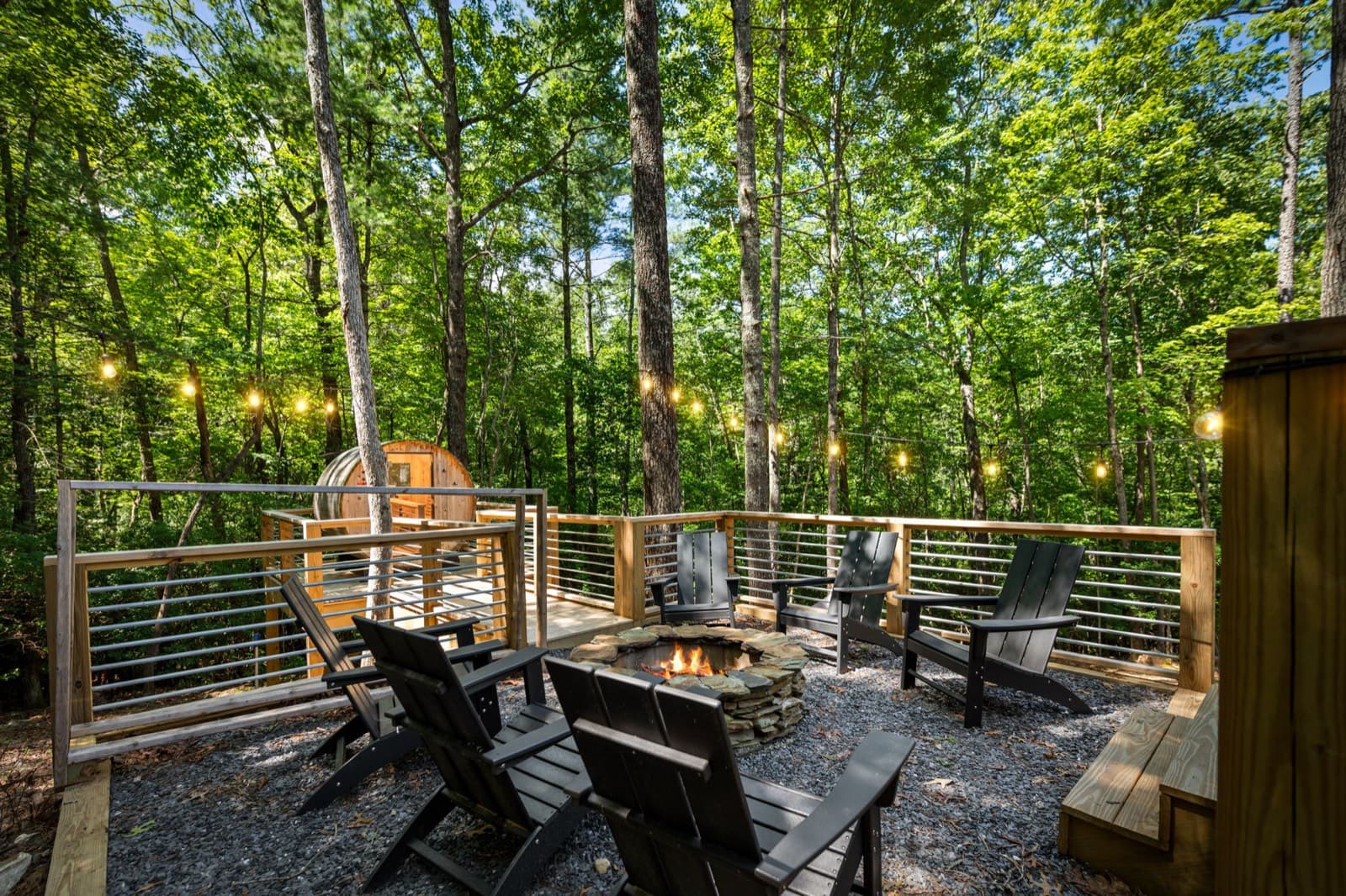
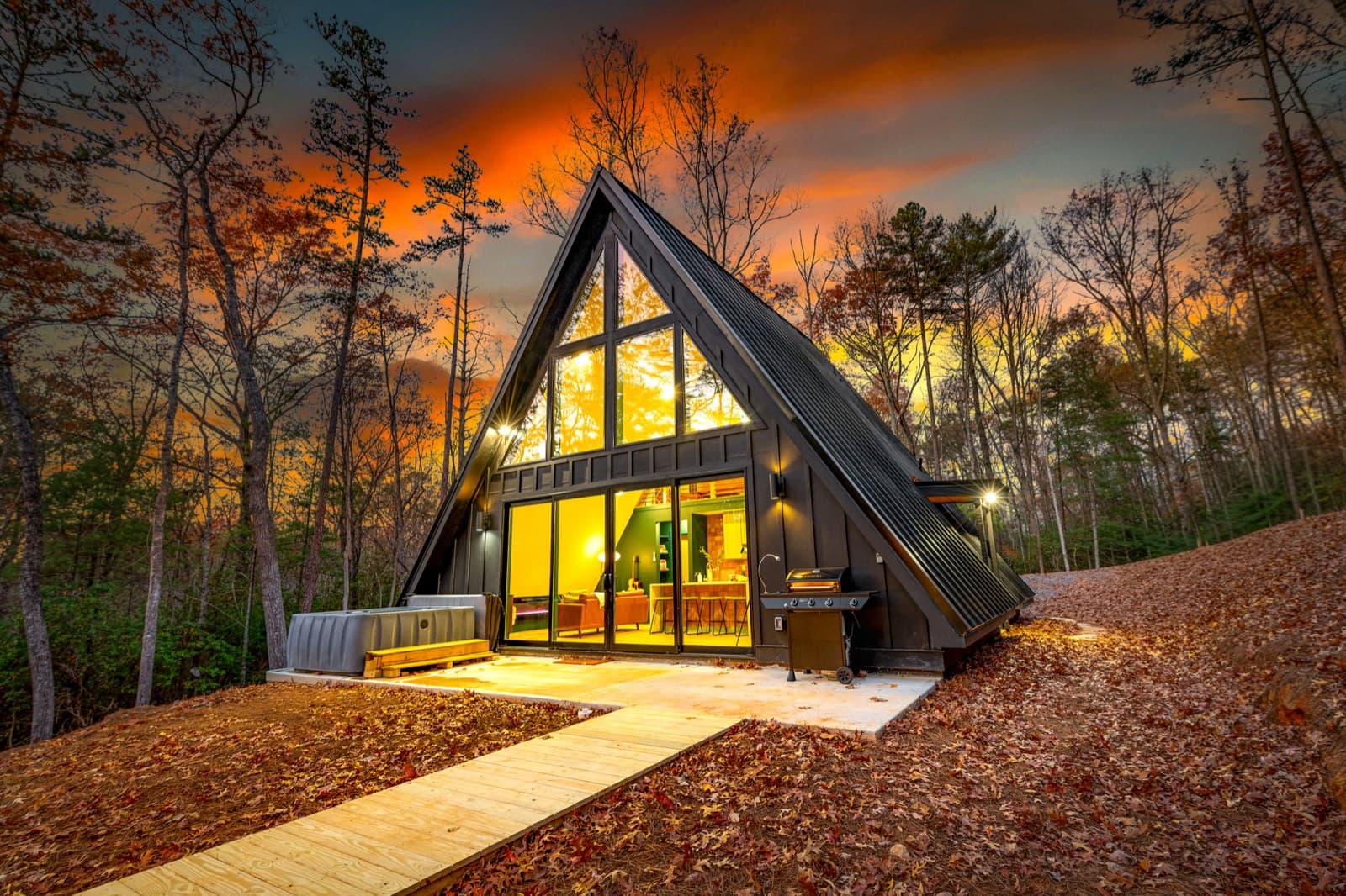
The Black Ember is a modern A-frame about 10 minutes from downtown Blue Ridge. After a day on gravel roads and trail, come back to a cedar barrel sauna, a private hot tub, and a wood fire pit with Adirondack chairs. It sleeps up to 5, and it's pet-free and smoke-free. Driving up from the city? See our mountain cabin near Atlanta page.
Event dates, hours, and prices change. Always confirm with the organizer before you go, and see our Blue Ridge events calendar for what's coming up. Spot something out of date? Let us know.
Keep planning
 Things to do
November 13, 2026 · 7 min read
Horseback Riding Near Blue Ridge, GA: Prices & Rules (2026)
Guided trail rides near Blue Ridge, GA: four stables with ride prices, lengths, age and weight limits, winter riding, and cancellation rules.
 Things to do
November 12, 2026 · 6 min read
Wineries Near Blue Ridge, GA: Hours, Tastings & Rules (2026)
Wineries in and near Blue Ridge, GA: Bear Claw, Mercier, Kerith House, Living Water, and Redtail Mountain, with hours, kid and dog rules, food, and drive times.
 Things to do
November 8, 2026 · 6 min read
Fort Mountain State Park From Blue Ridge, GA: Day Trip Guide (2026)
Fort Mountain State Park from Blue Ridge: about 55 minutes by car, a $10 ParkPass, the 855-foot stone wall, the CCC fire tower, and trail lengths.