Aska Trails Near Blue Ridge, GA: Hiking Guide, Trailheads & Rules
November 4, 2026 · 6 min read · By the hosts of The Black Ember
The short version
The Aska Trail System is about 17 miles of free hiking and mountain biking trails in the Chattahoochee National Forest off Aska Road, less than ten miles from downtown Blue Ridge, per the Forest Service. Deep Gap, which the Chamber calls the main trailhead, is 4.4 miles south on Aska Road. Trails run from about 1 mile to 5 or more miles, from easy to strenuous, and they're open year-round with no fee.
If you want a real walk in the woods without a long drive, the Aska Trail System is a good place to start: the Forest Service puts it less than ten miles from downtown Blue Ridge. It's a set of connected national forest trails off Aska Road, shared by hikers and mountain bikers, with one stretch along the shore of Lake Blue Ridge. Here's what the Forest Service and the Blue Ridge Mountains Chamber say about the trails, the trailheads, and the rules, with every detail linked to its source.
The Aska Trails at a glance
| What it is | About 17 miles of trails for hikers and mountain bikers (Forest Service) |
| Where | Off Aska Road in Fannin County, "less than ten miles from downtown Blue Ridge" (Forest Service) |
| Main trailhead | Deep Gap (Chamber), 4.4 miles south on Aska Road (Forest Service) |
| Trail lengths | 1.0 to 5.1 miles (Forest Service); the Chamber's figures differ (see below) |
| Difficulty | Easy to strenuous (Forest Service) |
| Fee | Free (Forest Service) |
| Season | Year-round (Forest Service) |
| Water | "None" (Forest Service) |
| Dogs | Allowed on a leash (Chamber) |
What are the Aska Trails?
The Forest Service describes the system as "approximately 17 miles of recreational trails for bicyclists and hikers," with trails that "range in length from 1.0 mile to 5.1 miles and range in difficulty from easy to strenuous." Part of the Benton MacKaye Trail runs through it along the Stanley Gap Trail.
The Blue Ridge Mountains Chamber calls the area the Aska Adventure Area. It says the trails climb to nearly 3,200 feet and come down to the shores of Lake Blue Ridge, and that the Toccoa River Canoe Trail runs through the area too. Its trail map puts outings at anywhere "from 15 minutes to 5 hours round trip," and notes that some trails have creek crossings.
Which Aska trail should you hike?
The Chamber publishes two lists, and the mileages don't match. Its Aska Adventure Area page and its printable trail map give these numbers. The Forest Service doesn't name the trails on its page, so check the board at the trailhead.
| Trail | Chamber web page | Chamber trail map |
|---|---|---|
| Long Branch Loop | 2 miles, loop, Easy | 2.1 miles, Easy |
| Green Mountain | 4.6 miles, out and back, Moderate | 3.7 miles, Moderate |
| Flat Creek Loop | 5.8 miles, loop, Moderate | 5.1 miles, Moderate |
| Stanley Gap | 5.5 miles, out and back, Hard | 4.8 miles, Difficult |
| Long Branch Connector | not listed | 0.5 mile, Moderate |
| Stanley Gap/Flat Creek Connector (map: Flat Creek Connector) | 0.1 mile, out and back, Moderate | 0.2 mile, Moderate |
A few notes from the Chamber's trail map:
- Long Branch Loop is the one rated Easy. It "begins at corner of the Shady Falls parking lot," follows an old logging road, and forks within 300 yards to make the loop. Both sides of the loop cross a creek.
- Green Mountain starts at the Deep Gap parking lot and is "a gradual climb to the summit of Green Mountain," ending at Forest Service Road 711 and Blue Ridge Lake. The Chamber's web page adds that 1.3 miles of the upper Green Mountain Trail "has been decommissioned."
- Flat Creek Loop starts about 100 yards from the Deep Gap lot, on the Stanley Gap Trail, and loops around Flat Creek.
- Stanley Gap "makes a gradual climb to Rocky Mountain," and part of it runs with the Benton MacKaye Trail.
Where do the Aska trailheads start?
Directions from the Forest Service, starting in Blue Ridge:
- Deep Gap: "go south on Aska Road 4.4 miles to Deep Gap parking area." The lot is south of the gap, on the right. (The Chamber's trail map says 4.3 miles.) The Chamber calls Deep Gap the main trailhead and says it's about a 15-minute drive from its Welcome Center.
- Shady Falls: go south on Aska Road 5.9 miles, turn left on Shady Falls Road, and go 0.2 miles. Parking is on the left. This is the start of the Long Branch Loop.
- Stanley Gap: go south on Aska Road 8 miles, turn right on Stanley Creek Road, and go 4.1 miles. The Forest Service says to park on the right. (The Chamber's trail map says 3.9 miles, with parking on the left.)
The Chamber also lists a fourth access point on Forest Road 711, reached from Campbell Camp Road, 2.5 miles down Aska Road. The Chamber says parking is free and the trailhead boards have maps.
How are the Aska trails marked?
Per the Forest Service:
- Lime green rectangles: hiking trails.
- Yellow diamonds: where mountain biking is allowed.
- White diamonds: the Benton MacKaye Trail, where it shares the Stanley Gap Trail.
The Chamber's trail map adds that the Benton MacKaye Trail "is a foot-path only, no bikes allowed." The Chamber's Benton MacKaye Trail page says "Blue Ridge is a Benton MacKaye Trail Town," the first town on a trail that starts on Springer Mountain.
Can you bring a dog or a bike?
- Dogs: allowed, but "must be leashed," per the Chamber.
- Bikes: mountain bikes are welcome where the trails are blazed with yellow diamonds (Forest Service). The Chamber says "No motorized vehicles or pack stock, including horses, are allowed." Ask the Forest Service before bringing an e-bike.
- Fees: none. The Forest Service lists the fee as "Free."
What should you know before you hike?
- Don't count on your phone. The Chamber's trail map says, "GPS and cellphones do not work reliably here, please don't rely upon them." Download or print a map first. The Forest Service links an Aska Trail System handout with a map.
- Bring water. The Forest Service lists no water at the trail system.
- Wear bright colors in hunting season. The Chamber's map asks hikers to wear "a brightly colored vest" during hunting season. Georgia DNR says deer season runs into January 2027 for most hunters; our guide to hiking during hunting season has Georgia DNR's dates.
- Check the alerts. The Forest Service page lists current alerts, including "Be Bear-Aware!" and the forest's orders and regulations, plus the forest's fire danger level. Read it the day you go.
- Pack it out. The Chamber's map asks you to "pack out all your trash" and, if you build a fire, to "never leave it unattended."
When is the best time to hike the Aska Trails?
The trails are open year-round, per the Forest Service. The Chamber says spring is best for stream flow and wildflowers, and winter offers clear, cool days with distant views. For the month-by-month picture, see our best time to visit Blue Ridge guide, and if you're coming up in the colder months, our winter guide.
More hikes near Blue Ridge
- Fall Branch Falls: a half-mile walk on the Benton MacKaye Trail off Stanley Creek Road, the same road as the Stanley Gap trailhead. It's in our waterfall guide.
- The Toccoa River Swinging Bridge: also on the Benton MacKaye Trail, with a short walk from Forest Service Road 816. Our swinging bridge guide has directions.
- Fort Mountain State Park: about 55 minutes from downtown Blue Ridge, with an ancient stone wall and a CCC stone fire tower. See our Fort Mountain guide.
- A drive instead of a hike: Aska Road itself is one of the easy fall color drives in our fall foliage guide.
Where to stay for a hiking weekend in Blue Ridge
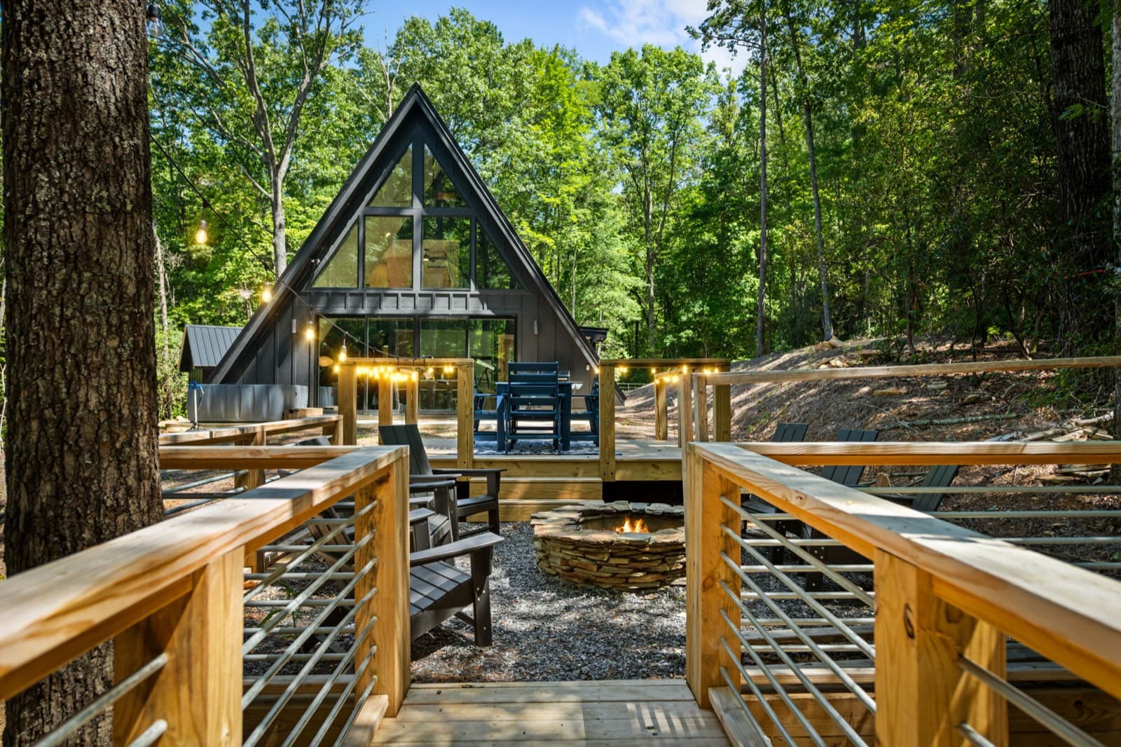
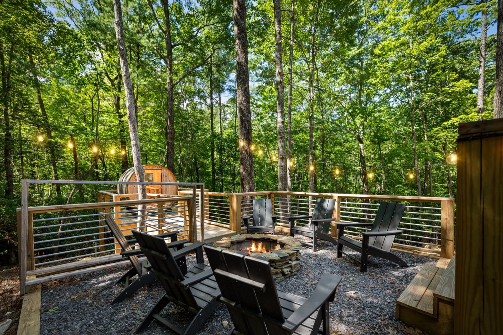
The Black Ember is a modern A-frame about 10 minutes from downtown Blue Ridge. After a day on the trails, there's a barrel sauna, a private hot tub, and a wood fire pit with Adirondack chairs. It sleeps up to 5, and it's pet-free and smoke-free, so the dog will need to sit this trip out.
Event dates, hours, and prices change. Always confirm with the organizer before you go, and see our Blue Ridge events calendar for what's coming up. Spot something out of date? Let us know.
Keep planning
 Things to do
November 13, 2026 · 7 min read
Horseback Riding Near Blue Ridge, GA: Prices & Rules (2026)
Guided trail rides near Blue Ridge, GA: four stables with ride prices, lengths, age and weight limits, winter riding, and cancellation rules.
 Things to do
November 12, 2026 · 6 min read
Wineries Near Blue Ridge, GA: Hours, Tastings & Rules (2026)
Wineries in and near Blue Ridge, GA: Bear Claw, Mercier, Kerith House, Living Water, and Redtail Mountain, with hours, kid and dog rules, food, and drive times.
 Things to do
November 9, 2026 · 6 min read
Springer Mountain & Long Creek Falls From Blue Ridge, GA (2026)
Hike to the Appalachian Trail's southern end on Springer Mountain and to Long Creek Falls from Blue Ridge: directions, gravel roads, distances, and tips.