Toccoa River Swinging Bridge: Directions, Trails & What to Know
October 18, 2026 · 6 min read · By the hosts of The Black Ember
The short version
The Toccoa River Swinging Bridge is a pedestrian suspension bridge on the Benton MacKaye Trail, about 50 minutes from downtown Blue Ridge. The easy way in is about 3 miles of rough gravel on Forest Service Road 816, then a short walk down to the river. The longer way is a hike on the Benton MacKaye Trail from GA-60. There's no entrance fee, and leashed dogs are welcome.
The Toccoa River Swinging Bridge is on our list of things to do in Blue Ridge. It's a long pedestrian suspension bridge over the Toccoa River in the Chattahoochee National Forest, and you can reach it with a short walk or a seven-mile round-trip hike. Here's how to get there and what to expect, with every detail linked to its source.
The swinging bridge at a glance
| What it is | A pedestrian bridge where the Benton MacKaye Trail crosses the Toccoa River |
| Length | 270 feet (Chamber) or 260 feet (BMTA) |
| Drive from downtown Blue Ridge | About 50 minutes (Chamber); routing puts it at about 52 minutes and 22 miles |
| Short route | About 3 miles of rough gravel on FS Road 816, then a short walk |
| Long route | Benton MacKaye Trail from GA Hwy 60: 3.5 miles each way (BMTA) |
| Fee | None |
| Dogs | Allowed on a leash |
| Open | Year-round |
The drive time is our check with the OSRM routing service, from downtown Blue Ridge to the parking area coordinates the Chamber lists, with no traffic.
How long is the Toccoa River Swinging Bridge?
The two main sources give slightly different numbers. The Blue Ridge Mountains Chamber calls it a 270-foot bridge and "the longest swinging bridge east of the Mississippi River." The Benton MacKaye Trail Association, which maintains the trail, says it's 260 feet, "only forty feet short of a football field's length," and "one of the longest foot trail suspension bridges in the East and the longest in the southern Appalachians."
Expect a little movement underfoot. The Chamber says it "will sway slightly when people walk across it," and the BMTA puts it this way: "kids will especially enjoy their walk across the bridge as it bounces a bit with each step."
Who built it?
The Chamber says the USDA Forest Service built the bridge in 1977 with the Appalachian Trail Club. The BMTA says it was built in the mid-1970s as part of a relocated Appalachian Trail route, then became part of the Benton MacKaye Trail in the early 1980s. Today it carries both the Benton MacKaye Trail and the Duncan Ridge National Recreation Trail, per the Chamber.
How do you get to the swinging bridge from Blue Ridge?
The Chamber's directions start at the intersection of Hwy 515 and Hwy 5 in Blue Ridge (by the McDonald's):
- Follow Hwy 515 East about 4 miles to the light at Hwy 60.
- Turn right to the stop sign, then turn left onto Hwy 60.
- Go 1.5 miles into Morganton.
- Turn right onto Hwy 60 South toward Dahlonega.
- Continue 11.3 miles, passing Skeenah Mill.
- After another 0.7 mile, turn right onto FS Road 816.
- Follow the gravel road about 3 miles to the parking area.
The Chamber lists the parking area at N 34°44.350' W 084°10.213'. It also says the whole trip is about 50 minutes from Blue Ridge.
The short walk: FS Road 816
This is the route the BMTA suggests for families: drive about three miles on unpaved Forest Service Road 816, then take a short walk from the parking area to the bridge. The Chamber describes it as a "Short hike down to the Toccoa River & Swinging Bridge from the parking lot," and its quick facts call it an "Easy, short walk on both sides of the river."
Two things to know before you go:
- The road is gravel, and the Chamber says it's rough. Its page says "Some roads are rough," and that weather can affect the access roads, so check conditions before you visit.
- The trail is unpaved. The Chamber notes some uneven terrain, so wear real shoes.
The long hike: Benton MacKaye Trail from GA-60
If you'd rather earn the view, start on the Benton MacKaye Trail at GA Hwy 60, between Morganton and Suches. The BMTA lists it as a 3.5-mile hike each way, seven miles round trip, rated Intermediate, and covering BMT sections 2c and 2d. Explore Georgia describes the same hike as heading south from Hwy 60 for three miles, so plan on three to three and a half miles each way.
The BMTA suggests this route for frequent hikers and recommends bringing a picnic lunch.
For trail blazes, the Chamber says to follow white diamonds for the Benton MacKaye Trail and blue vertical rectangles for the Duncan Ridge Trail.
Is the trail in good shape right now?
The BMTA posts a Know Before You Go report with open trail problems by section. The report dated Oct. 15, 2026 lists no problems for section 2d (Toccoa River to GA Hwy 60), the stretch between the GA-60 trailhead and the bridge. For the swinging bridge itself, it lists one bridge item, reported Dec. 13, 2025: "Replace 3 steps on approach to bridge." Check the latest report before you go, since it changes as volunteers log work.
Do you have to pay, and can you bring the dog?
- No fee. "There is no entrance fee to access the Toccoa River Swinging Bridge or to use the trails," according to the Chamber. The BMTA notes that donations fund the replacement timbers and hardware on the bridge.
- Dogs: allowed on a leash, per both the Chamber and the BMTA. The Chamber asks owners to clean up after their pets.
- Season: the Chamber says the bridge is open year-round.
Safety tips for the swinging bridge
These come from the Chamber's page:
- Be prepared for wilderness conditions.
- Use good judgment around waterfalls, where the Chamber says rocks are "often wet, moss covered and slippery."
- Wear a brightly colored vest during hunting season. (Our guide to hiking during hunting season has the 2026–27 deer season dates.)
- Check road conditions before you go, since weather can affect the access roads.
Paddling and fishing under the bridge
The bridge spans rapids on the Toccoa River, and the BMTA says this stretch is part of the officially designated Toccoa River Canoe Trail. In its words, "Here you are likely to see fisherman and canoeists as well as other hikers." The Forest Service says the full float runs 13.8 miles, from Deep Hole Recreation Area to the Toccoa River Sandy Bottoms Recreation Area, with day use fees of $5 per vehicle at Deep Hole and $3 per vehicle at Sandy Bottoms. (The BMTA gives 14 miles.)
The same Forest Service page carries a caution: "Fishing, camping and entering onto private land is illegal without landowner permission," and its suggested take-out points are on Forest Service land.
Deep Hole Recreation Area is on "a big turn in the Toccoa River just north of Suches," per the Forest Service, with camping, canoeing, and fishing. It lists no potable water.
More easy hikes near Blue Ridge
If the bridge makes you want more, our waterfall guide covers Fall Branch Falls (a half-mile walk) and three others. Couples can fold the bridge into a slow weekend with our things to do in Blue Ridge for couples. And if the forecast turns, here are rainy-day ideas. To turn the bridge into a full day in the car, it's one stop on the GA-60 loop in our scenic drive guide.
Where to stay for a swinging bridge day trip
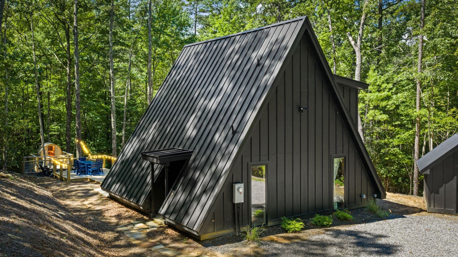
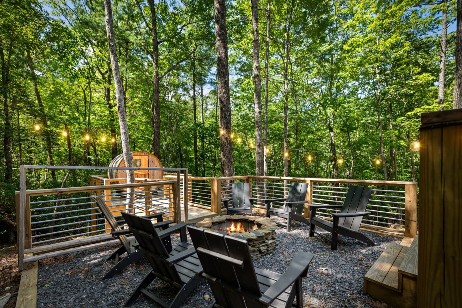
The Black Ember is a modern A-frame about 10 minutes from downtown Blue Ridge, so the bridge is an easy day out from town, with a barrel sauna, a private hot tub, and a fire pit waiting when you get back. It sleeps up to 5, and it's pet-free and smoke-free.
Event dates, hours, and prices change. Always confirm with the organizer before you go, and see our Blue Ridge events calendar for what's coming up. Spot something out of date? Let us know.
Keep planning
 Things to do
November 13, 2026 · 7 min read
Horseback Riding Near Blue Ridge, GA: Prices & Rules (2026)
Guided trail rides near Blue Ridge, GA: four stables with ride prices, lengths, age and weight limits, winter riding, and cancellation rules.
 Things to do
November 12, 2026 · 6 min read
Wineries Near Blue Ridge, GA: Hours, Tastings & Rules (2026)
Wineries in and near Blue Ridge, GA: Bear Claw, Mercier, Kerith House, Living Water, and Redtail Mountain, with hours, kid and dog rules, food, and drive times.
 Things to do
November 9, 2026 · 6 min read
Springer Mountain & Long Creek Falls From Blue Ridge, GA (2026)
Hike to the Appalachian Trail's southern end on Springer Mountain and to Long Creek Falls from Blue Ridge: directions, gravel roads, distances, and tips.