Scenic Drive from Blue Ridge, GA: The GA-60 Loop to Suches (2026)
October 21, 2026 · 7 min read · By the hosts of The Black Ember
The short version
The Blue Ridge Chamber's "Suches It Is" loop is a 76-mile round trip with about two hours of driving, south on GA-60 past Skeenah Mill and the Toccoa River to Suches, then around to Vogel State Park and Blairsville. Before you go in fall 2026: Lake Winfield Scott is closed for renovations through the 2027 season, Vogel's Lake Trahlyta is drained with its loop trail and waterfall closed, and the fish hatchery is open to visitors on weekdays only.
One of the easiest ways to see the mountains around Blue Ridge is from the car. The Blue Ridge Mountains Chamber publishes a free map for a loop it calls "Suches It Is," south on GA-60 to Suches and back around through Blairsville. Here's the route stop by stop, with what's open right now and sources linked throughout.
The "Suches It Is" loop at a glance
| Route | Blue Ridge, Morganton, GA-60 south to Suches, then GA-180 and US-129 to Vogel and Blairsville |
| Length | 76 miles round trip (Chamber) |
| Driving time | About two hours without stops (Chamber) |
| Map | Free PDF map, or printed copies at the Chamber's visitor centers |
| Closed in 2026 | Lake Winfield Scott; Vogel's Lake Trahlyta loop trail and waterfall |
| Weekday-only stop | Chattahoochee Forest National Fish Hatchery |
The Chamber says the loop "can easily turn into a full day trip." When we checked the main stops with the OSRM routing service (downtown Blue Ridge to Skeenah Mill, Woody Gap, Vogel, Blairsville, and back), it came to about 86 miles and 2 hours 25 minutes with no stops or traffic, so give yourself more time than the two-hour figure suggests.
Where does the drive start?
The Chamber's map starts at the intersection of Hwy 5 and Hwy 515/US 76 in Blue Ridge. Download or print the map before you leave. The U.S. Fish and Wildlife Service says "GPS and cell phones do not work in the area surrounding the hatchery," stop 4 on the Chamber's map.
Stop 1: Lake Blue Ridge Dam
The first stop on the Chamber's map is the Lake Blue Ridge Dam and Recreation Area, 2.6 miles east of the start on Hwy 515/US 76 and then right onto River Rd. The map says the dam stands 200 feet tall and 1,500 feet across, creating the 3,290-acre Lake Blue Ridge. For lake views, it suggests continuing on River Rd and turning right onto Old US 76 to the recreation area.
Stop 2: Old Skeenah Mill
From the dam, the route picks up GA-60 south. The Chamber's map says the mill sits inside Skeenah Creek Campground and was built in 1848 by Willis Woody, and that the Skeenah Valley is named after the Cherokee word for "black bear." The Chamber's campground listing gives a different date, describing "a Historic Mill and farmhouse from 1838," and says the mill "still has a working water wheel and scenic waterfall flowing next to it."
The campground is at 20 Skeenah Gap Rd. Neither Chamber page says whether non-campers can walk onto the grounds, so if you want a closer look, call the campground first at the number on its listing, (706) 838-5500.
Routing puts the mill at about 31 minutes and 19 miles from downtown Blue Ridge.
Stop 3: Toccoa River Swinging Bridge
Just past the mill, the Chamber's map sends you 0.8 miles farther on GA-60, then right on Forest Service Road 816 for 3 miles to the parking area, then a short hike to the bridge. Our swinging bridge guide has the details: length, the two ways in, dogs, and the latest trail report.
Stop 4: Chattahoochee Forest National Fish Hatchery
Check the day before you plan on this stop. The U.S. Fish and Wildlife Service lists self-guided visitor hours of "Mon-Fri 8 am - 3 pm." There's no admission fee and no reservation needed for a self-guided visit, and you can walk the outdoor raceway area "to see the trout in various stages of production," and maybe "watch the fish being fed and/or loaded onto stocking trucks."
The hatchery is on Rock Creek Road, which the service says is 5 miles off GA-60. It suggests calling the office at 706-838-4723 ahead of time for directions.
Stop 5: Woody Gap and Preachers Rock
Farther along GA-60 is Woody Gap, where the Appalachian Trail crosses the highway. The Forest Service describes it as "right off the scenic highway 60," with "panoramic views of the North Georgia Mountains." It's open year-round, and the Forest Service says potable water is not available.
The Chamber's map calls the hike from here to Preachers Rock "a 2-mile round trip hike" to an overlook, and says the gap is named for Arthur Woody, one of Georgia's first forest rangers. Routing puts Woody Gap at about 63 minutes and 36 miles from downtown Blue Ridge.
Stop 6: Lake Winfield Scott (closed for now)
The Chamber's map still lists this 18-acre lake, but Recreation.gov posts this alert: "Lake Winfield Scott is currently closed for renovations and will remain so for the 2027 season." Plan to drive past it this year.
Stop 7: Vogel State Park
Georgia State Parks says Vogel was established in 1931, sits at 2,500 feet, and is open 7 a.m. to 10 p.m. A parking fee is required. The park's site also posts a closure: "Lake Trahlyta is currently drained for necessary dam repairs and maintenance," and "The Lake Trahlyta Loop Trail and the waterfall are also closed at this time." It adds that the park's cabins, campsites, and other facilities remain open. Routing puts the park at about 45 minutes and 34 miles from downtown Blue Ridge.
With Vogel's falls closed, try Helton Creek Falls, a side trip on the Chamber's map. The Forest Service calls it "an easy 0.2 mile hike," with "many abrupt changes in grade." It's free and open all year. The Forest Service says to turn onto Helton Creek Road just past the Vogel entrance and go 2.2 miles to a small pullout; the Chamber's map says 1.2 miles past Vogel on US 129, then 2 miles on Helton Creek Road.
Stop 8: Reece Farm & Heritage Center
North of Vogel on US 129, the Byron Herbert Reece Farm & Heritage Center tells the story of the Appalachian farmer and poet. The sources disagree on hours: a Union County notice from August 2026 says "Main gate and Exhibits open Tuesday-Saturday 9am-5pm- free admission," while Explore Georgia says the farm is open April through November and its Visitor Center is open Wednesday through Saturday, 10 to 4, with free admission. Call ahead at the number on the county notice, (706) 970-5985. It's at 8552 Gainesville Hwy, Blairsville.
The Chamber's map also lists a country market and a Blairsville distillery as the last stops, plus a winery side trip. We haven't checked their hours, so look them up on the map and call ahead.
Side trips: Brasstown Bald and the Russell Scenic Highway
If you have time, the Chamber's map includes these two side trips:
- Brasstown Bald. The Forest Service says the summit rises 4,784 feet with a 360° view that includes four states. The visitor center is open 7 days a week, 10 AM to 5 PM. Admission is $10 per adult (16+), or $6 after hours, and children 15 and under are free. You can take the shuttle (last departure 4:30 PM, with no shuttle from 12:30 to 1:10 PM) or walk "a 0.6 mile paved foot trail," which the Forest Service calls very steep. All facilities close the Wednesday before Thanksgiving, Thanksgiving Day, Christmas Eve, and Christmas Day. Our Brasstown Bald guide has more.
- Richard B. Russell Scenic Highway. The Chamber's map calls it a 23-mile drive that includes Hogpen Gap, an Appalachian Trail access point. The Forest Service's Russell-Brasstown National Scenic Byway, a 40-mile loop on State Highways 348, 180, and 17/75, also crosses the Appalachian Trail at Hogpen Gap. The Forest Service says to "allow at least three hours driving time" for the full byway.
The map also suggests Cooper Creek Road, which it describes as a 6-mile drive to two campgrounds, hiking trails, trout streams, and Sea Creek Falls.
Is now a good time for fall color on this drive?
The Georgia Forestry Commission's Leaf Watch report for October 14, 2026 put North Central Georgia at 21% leaf change above 3,000 feet and 11% below, and said "peak fall color viewing looks to be in late October to early November." It also noted that U.S. Highway 19 from Dahlonega to Blairsville was showing "some noticeable fall colors." For more on timing, see our fall foliage guide and the best time to visit Blue Ridge.
Tips before you go
- Go on a weekday if the fish hatchery is on your list. It's open to visitors Monday through Friday. Call Reece Farm before you go, since its posted hours differ.
- Bring the map. Cell and GPS don't work around the hatchery, per the Fish and Wildlife Service.
- Bring water. The Forest Service says neither Woody Gap nor Helton Creek Falls has potable water.
- Check the calendar. If you're planning around a festival or the holiday train, our events calendar has the dates.
Where to stay for a day on the Suches loop
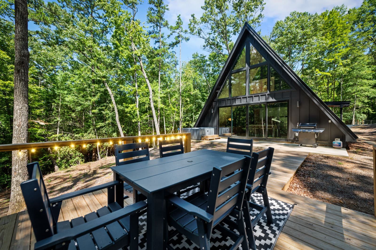
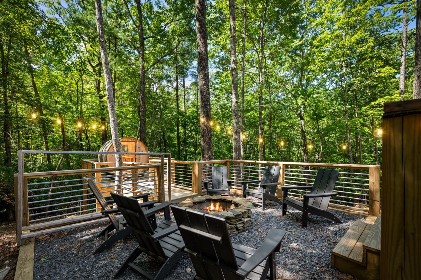
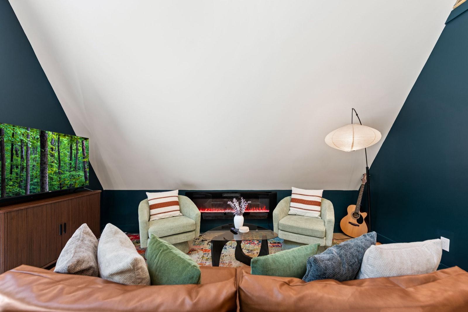
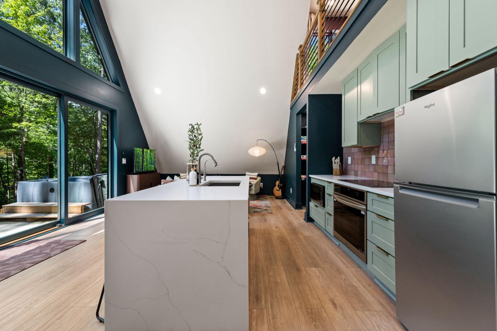
The Black Ember is a modern A-frame about 10 minutes from downtown Blue Ridge, where the Chamber's loop begins. After a day in the car, there's a barrel sauna, a private hot tub, and a fire pit waiting. It sleeps up to 5, and it's pet-free and smoke-free. Driving up from the city? Here's how far Blue Ridge is from Atlanta.
Event dates, hours, and prices change. Always confirm with the organizer before you go, and see our Blue Ridge events calendar for what's coming up. Spot something out of date? Let us know.
Keep planning
 Things to do
November 13, 2026 · 7 min read
Horseback Riding Near Blue Ridge, GA: Prices & Rules (2026)
Guided trail rides near Blue Ridge, GA: four stables with ride prices, lengths, age and weight limits, winter riding, and cancellation rules.
 Things to do
November 12, 2026 · 6 min read
Wineries Near Blue Ridge, GA: Hours, Tastings & Rules (2026)
Wineries in and near Blue Ridge, GA: Bear Claw, Mercier, Kerith House, Living Water, and Redtail Mountain, with hours, kid and dog rules, food, and drive times.
 Things to do
November 9, 2026 · 6 min read
Springer Mountain & Long Creek Falls From Blue Ridge, GA (2026)
Hike to the Appalachian Trail's southern end on Springer Mountain and to Long Creek Falls from Blue Ridge: directions, gravel roads, distances, and tips.