Fort Mountain State Park From Blue Ridge, GA: Day Trip Guide (2026)
November 8, 2026 · 6 min read · By the hosts of The Black Ember
The short version
Fort Mountain State Park, near Chatsworth, is about 55 minutes by car from downtown Blue Ridge by routing. The park is open 7 AM to 10 PM, and parking takes a $10 Georgia State Parks ParkPass. Its best-known sights are an 855-foot ancient stone wall and a stone fire tower built by the Civilian Conservation Corps, which the park says both stand on the highest point of the mountain.
Fort Mountain State Park has a mystery at the top: a zigzagging stone wall that nobody can date for certain, near a 1930s stone fire tower. By routing, it's a little under an hour from downtown Blue Ridge. Here's what Georgia State Parks says about the fees, hours, trails, and history, with each detail linked to its source.
Fort Mountain at a glance
| Question | Short answer |
|---|---|
| Drive from downtown Blue Ridge | About 55 minutes (about 33 miles) to the park, by OSRM routing |
| Park hours | 7 AM to 10 PM; office 8 AM to 5 PM (Georgia State Parks) |
| Parking | $10 per vehicle, or a $70 annual ParkPass (ParkPass page) |
| Elevation | 2,850 feet above sea level (Georgia State Parks) |
| Size | 4,058 acres, with a 17-acre lake (same page) |
| Pets | Leashed (6 feet or shorter) and with the owner at all times; not in buildings, swimming areas, or beaches (Park Rules) |
| Park phone | 706-422-1932 (Georgia State Parks) |
What is Fort Mountain State Park?
Georgia State Parks says the park sits "at the southwestern end of the Cohutta Mountains near the Cohutta Wilderness," at 2,850 feet. It describes "a stone fire tower built by the Civilian Conservation Corps and an ancient rock wall which stand on the highest point of the mountain."
The park's history page says the land was donated by Ivan Allen Sr., an Atlanta businessman and politician, and that the park "officially opened in 1936." The CCC built the lake and several buildings and made hiking trails on the mountain.
How far is Fort Mountain from Blue Ridge?
OSRM routing, checked today, puts the park about 55 minutes and about 33 miles from downtown Blue Ridge, with no traffic. The route heads south on the Appalachian Highway (GA 515) toward Ellijay, then west on GA 52, the Chatsworth Highway. Georgia State Parks calls it "a scenic drive on Highway 52" on its park page. Allow extra time on mountain roads.
That's a similar drive to Amicalola Falls (about 47 minutes) and Brasstown Bald (about 1 hour), both also measured from downtown Blue Ridge. If you want to compare the towns along the way, see Blue Ridge vs. Helen vs. Ellijay.
What is the stone wall?
It's the park's namesake. The history page says the wall "zigzags along Fort Mountain for 855 feet and varies between two and six feet tall at points," and that "Archaeological estimates state that the wall was constructed between 500 – 1500 CE." It adds that, according to Cherokee lore, the wall was built by the "Moon-eyed people," and that its purpose is still debated, "with theories ranging from a military defense fortification to a spiritual structure."
The park's trail map tells the same story in its "Mystery of Fort Mountain" panel. It lists several theories and says "no one knows who built the 'wall of stones.'" It also mentions 30 "pits" built into the wall and says this part of the mountains "offers 80-mile views." The map labels a Stone Wall Trail near the stone tower trails.
What about the fire tower?
The history page calls it "the large stone fire tower that stands four stories tall at the top of the mountain," which let rangers "spot fires up to 40 miles away." Local stonemason Arnold Bailey led the building, and he carved a stone heart into the tower "to impress his sweetheart, Margaret." The page says that heart "remains in the fire tower today."
The tower's wooden top burned in 1971. A 2015 state report on the restoration says the state rebuilt the cupola, the entrance and interior steps, and added a seating area at the base. The history page says the tower won a 2016 preservation award from The Georgia Trust for Historic Preservation. If seeing the tower is the reason for your trip, call the park first at 706-422-1932.
Which trails should you hike?
Georgia State Parks' trails page lists these hikes. The trail map gives slightly different lengths for some, so both are shown.
| Trail | Trails page | Trail map |
|---|---|---|
| CCC Fire Tower combination (West Overlook + CCC Stone Tower trails) | 1-mile loop, 1 hour | 0.9-mile loop, 1 hour |
| Big Rock Nature Trail | 0.75-mile loop, 1 hour, moderate | 0.5-mile loop, 1 hour |
| Lake Loop (bikes and hikers) | 1.2-mile loop, 1 hour | 1.2-mile loop, 1 hour |
| Upper Cabin combination | 1.6-mile loop, 1.25 hours, moderate | 1.6-mile loop, 1 1/4 hours |
| Gahuti Trail (backcountry) | 8.7-mile loop, 5 hours, moderate | 8.7-mile loop, 5 hours |
| 301 Mountain Bike Trail | 14.6-mile loop, 4 hours by bike | 14.6-mile loop, 4 hours by bike |
A few details from the trails page:
- For the tower: you hike "uphill on the West Overlook Trail" and return on the CCC Stone Tower Trail, with "year-round vistas from West Overlook" and some "CCC-built steps."
- For waterfalls: the Big Rock Nature Trail "passes several small cascades and waterfalls," and "Wildflowers are abundant in spring."
- For a long day: the Gahuti Trail circles the edge of the park and ends at Cool Springs Overlook, "with views of the Holly Creek Valley and Cohutta Mountains." The history page calls it an 8.2-mile loop instead.
The park page lists "25+ miles" of hiking trails and "27 miles" of biking trails, and its introduction mentions "60 miles of recreational trails." Horse riders "must bring their own horses and register at the stables," per the trail map.
On accessibility: the trail map marks the Cool Springs Overlook Trail as "100% accessible by 2002 standards."
What else is there to do?
The park page lists:
- a sand swimming beach (seasonal)
- jon boat, kayak, canoe, paddleboard, aquacycle, and pedal boat rentals (seasonal)
- miniature golf, for a fee (seasonal)
- fishing, geocaching, a playground, picnic shelters, and a gift shop
The page doesn't give months for the seasonal activities, so call the park at 706-422-1932 before you plan around them.
Tips before you go
- Buy the pass. Daily ParkPasses are sold "at kiosks inside parks, by QR code upon arrival, or in park offices," and one daily pass works at more than one state park on the same day (ParkPass page).
- Check trail status. The trail map says trails "may be closed for maintenance or inclement weather," so check with the park office.
- Pack for the trail. The same map suggests taking "a map, water, snacks, first aid kit, flashlight and whistle," and telling someone your plans and expected return time.
- Backcountry needs a permit. The map says "Permits required for all equestrian and backcountry use," and the Gahuti Trail's four backcountry campsites are "for use by permit only" (trails page).
- Leave the drone at home. Georgia State Parks' rules say "Drone operation is prohibited" (outside approved commercial waivers) and say alcohol is "unlawful in any public-use area."
Want more hiking closer to the cabin? Our Aska Trails guide covers the trail system near town, and the scenic drives guide has more ideas for a day in the car.
Where to stay for a Fort Mountain day trip
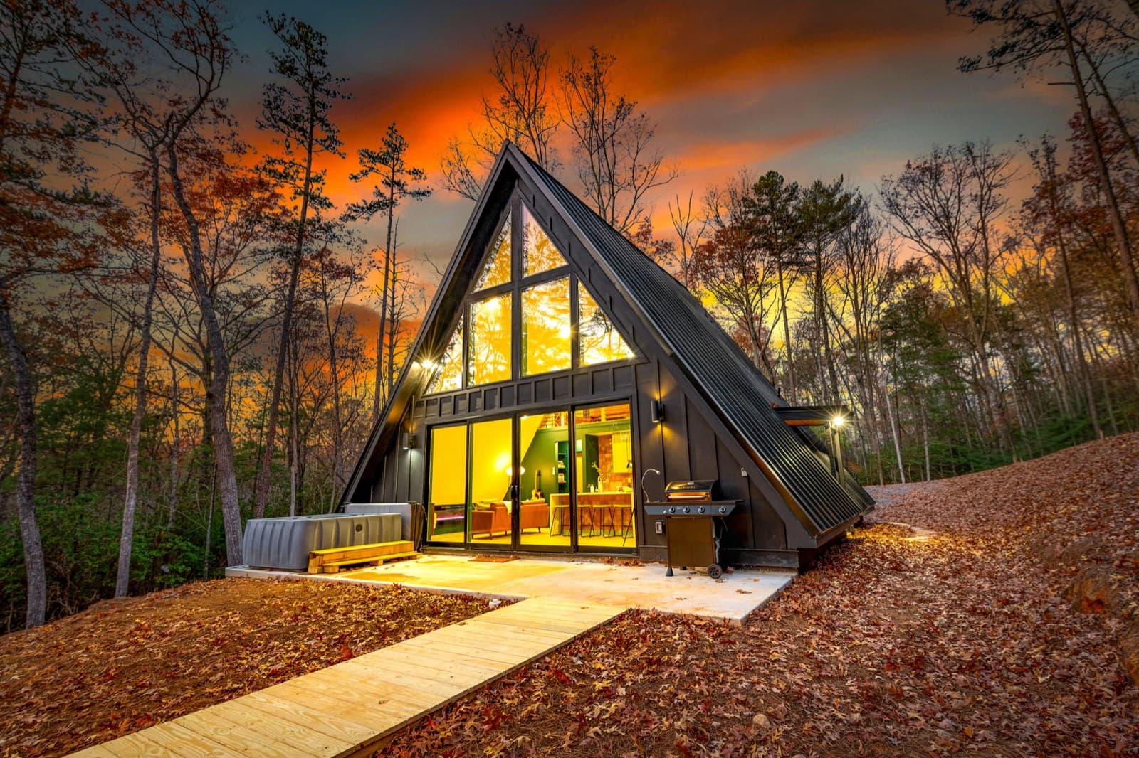
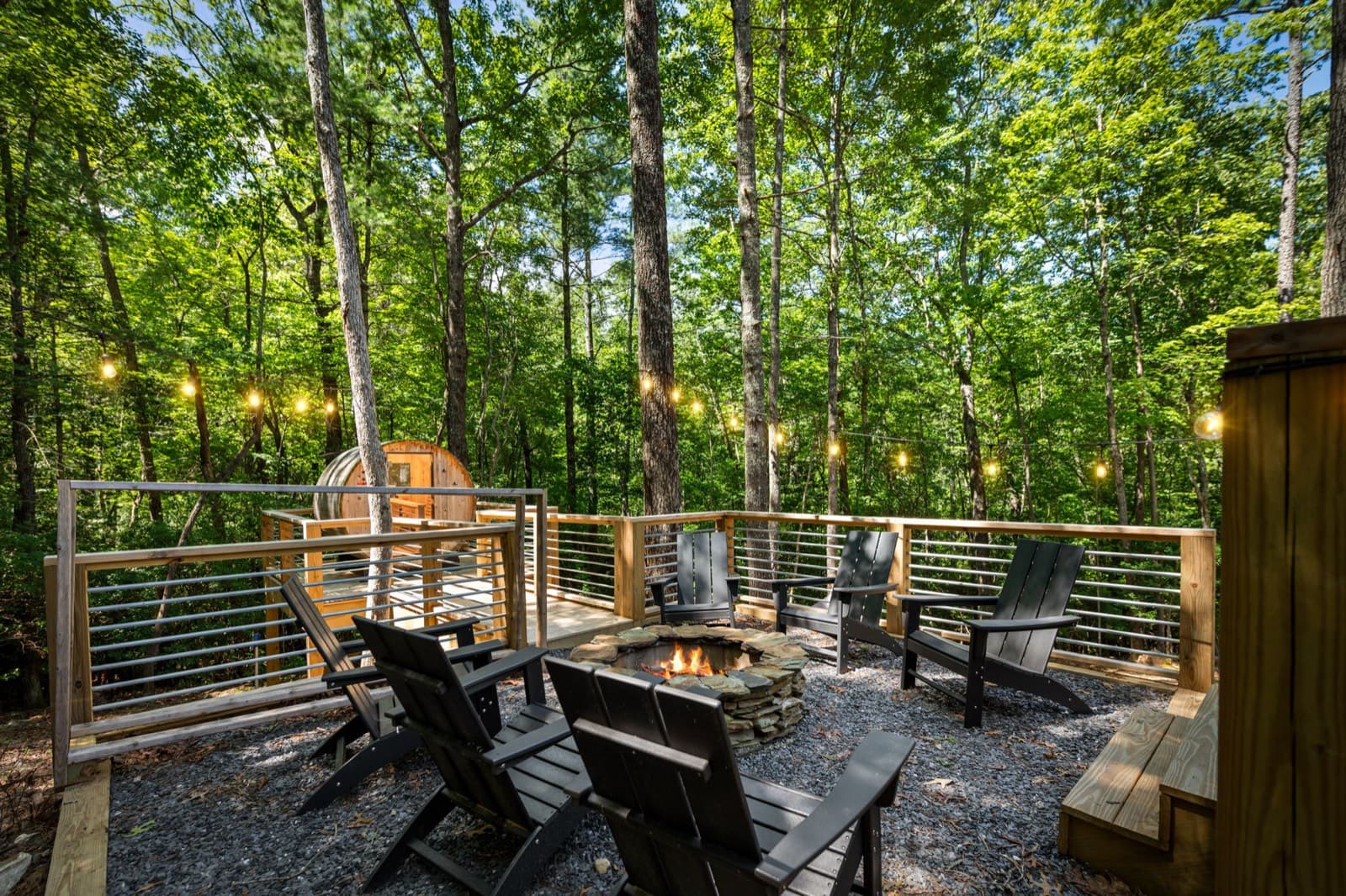
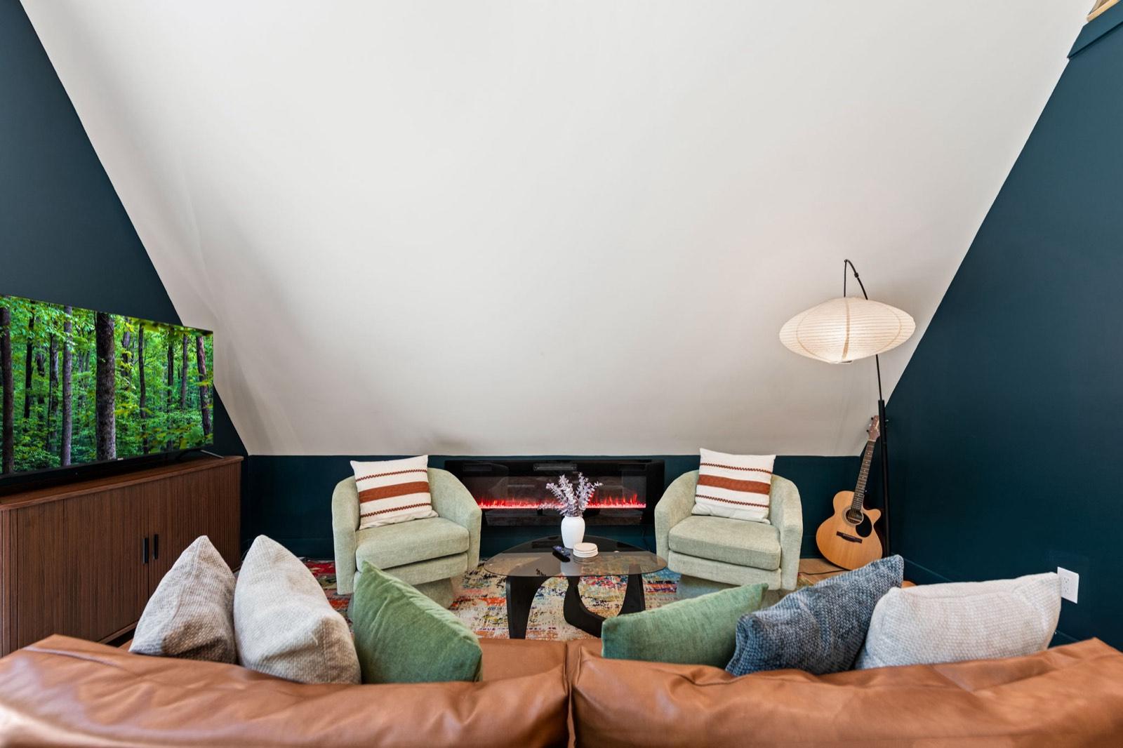
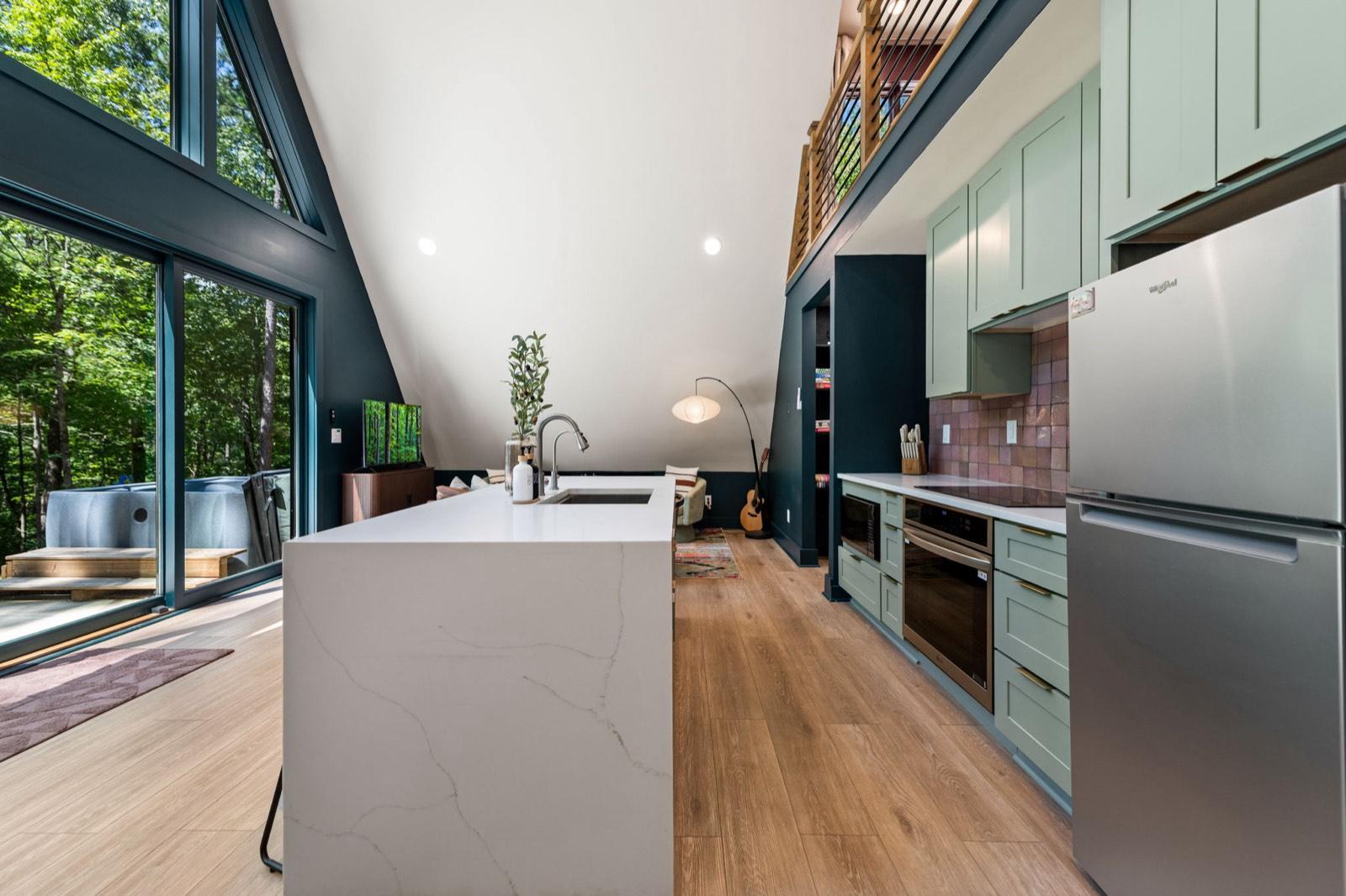
The Black Ember is a modern A-frame about 10 minutes from downtown Blue Ridge. After the stone tower steps, come back to a private hot tub, a cedar barrel sauna, and a wood fire pit with Adirondack chairs. It sleeps up to 5, and it's pet-free and smoke-free. Driving up from the city? See our mountain cabin near Atlanta page.
Event dates, hours, and prices change. Always confirm with the organizer before you go, and see our Blue Ridge events calendar for what's coming up. Spot something out of date? Let us know.
Keep planning
 Things to do
November 13, 2026 · 7 min read
Horseback Riding Near Blue Ridge, GA: Prices & Rules (2026)
Guided trail rides near Blue Ridge, GA: four stables with ride prices, lengths, age and weight limits, winter riding, and cancellation rules.
 Things to do
November 12, 2026 · 6 min read
Wineries Near Blue Ridge, GA: Hours, Tastings & Rules (2026)
Wineries in and near Blue Ridge, GA: Bear Claw, Mercier, Kerith House, Living Water, and Redtail Mountain, with hours, kid and dog rules, food, and drive times.
 Things to do
November 9, 2026 · 6 min read
Springer Mountain & Long Creek Falls From Blue Ridge, GA (2026)
Hike to the Appalachian Trail's southern end on Springer Mountain and to Long Creek Falls from Blue Ridge: directions, gravel roads, distances, and tips.